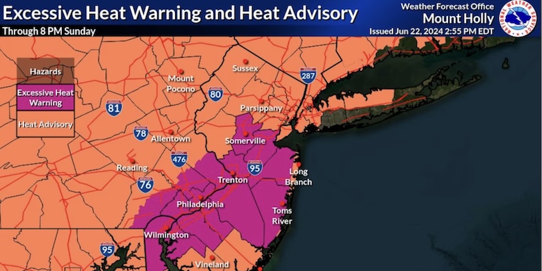
The US National Weather Service Philadelphia/Mount Holly message on July 2, 2026 5:45 AM EDT. High temperatures through Saturday will be 95-105°F for most areas (hottest days expected to be today and Friday), then some cooling Sunday through Tuesday. Overnight low temperatures only dropping into the mid 70s to low 80s will offer little to no relief. Daytime heat index values are forecast to be between 100-110°F through Saturday, including area beaches and mountainous areas.
Heat index values locally up to 115°F possible. The combination of very hot and humid conditions (near record breaking temperatures) for multiple consecutive days will increase the risk for heat related illnesses, especially for the elderly and the young. An isolated to scattered thunderstorms are possible during the afternoon and evening hours of Friday through Sunday. Any storms may offer some local, temporary relief from the heat. Any stronger thunderstorm could produce locally strong to damaging winds due to the extreme heat and humidity.
Camden County activates "Code Red" advisories during severe heatwaves, establishing municipal buildings, local libraries, and community centers as designated public cooling hubs.
Merchantville Borough
Camden County Cooling Centers
Camden County EMA